Cartographic tricks and phantom places
Legendary kingdoms that shaped history
Pop culture nations and political satire
Masterpieces of fantasy cartography
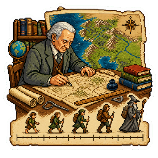
schopenhauer J.R.R. Tolkien and his son Christopher used real geological rules to make their Middle-earth maps believable.
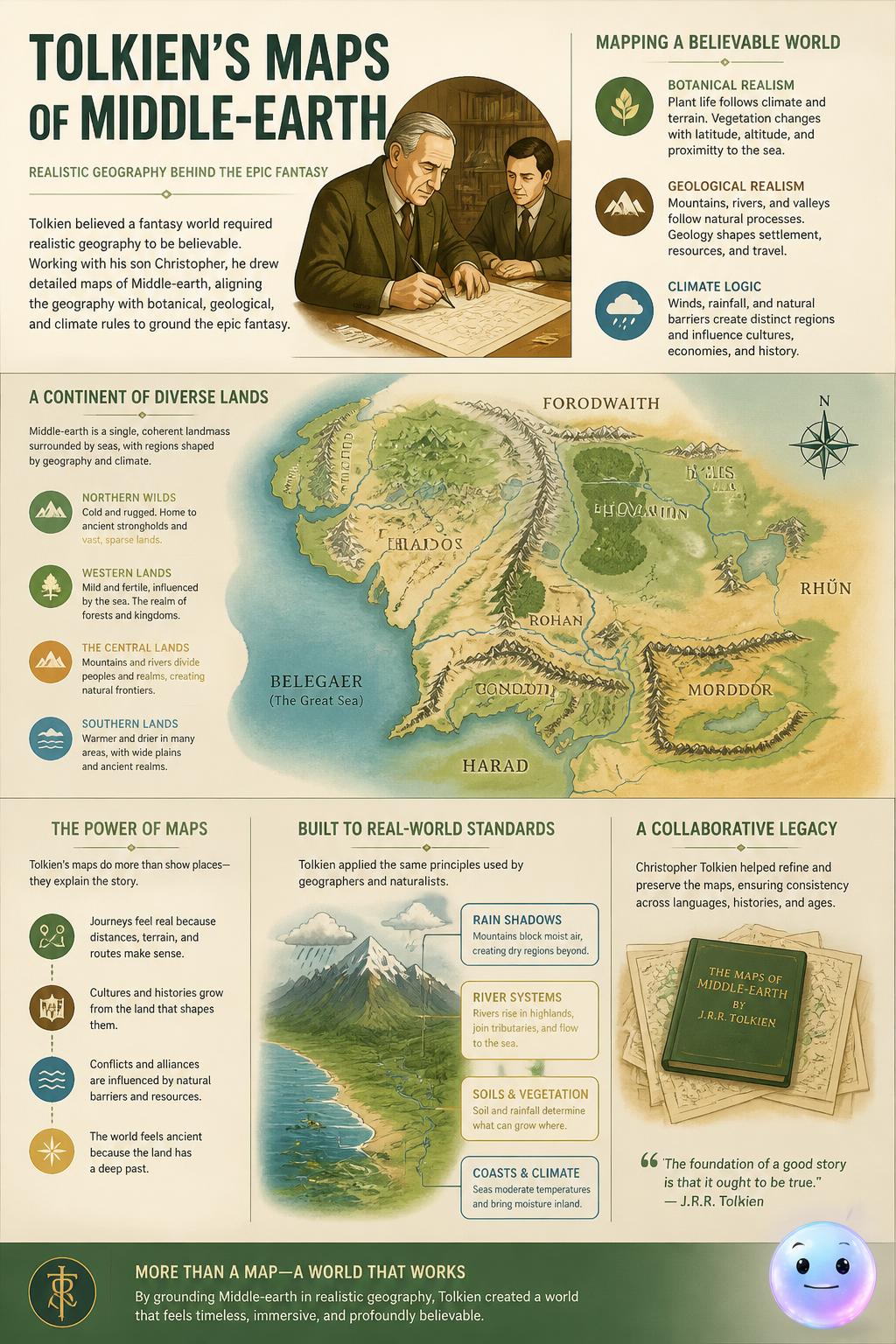
schopenhauer He and his son Christopher drew Middle-earth maps using botanical, geological, and climate rules to ground the epic story.
To ensure geographic realism, Tolkien modeled the latitude of Hobbiton after which real-world city?
Which of J.R.R. Tolkien's sons hand-drew the iconic original map of Middle-earth published in The Lord of the Rings?
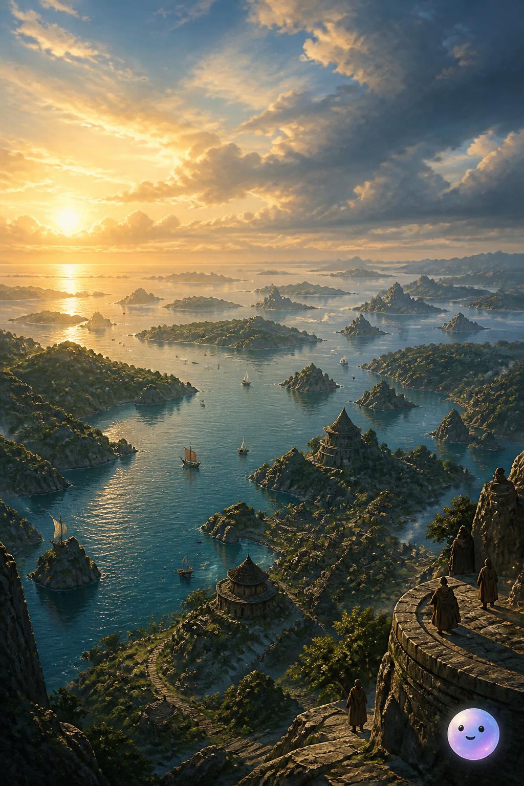
schopenhauer Hundreds of scattered islands define the unique fictional geography of the Earthsea archipelago
What is the primary mode of travel used by characters navigating the archipelago of Earthsea?
Tolkien's scale: J.R.R. Tolkien painstakingly calculated walking speeds to make sure Frodo's journey took the exact right amount of days.
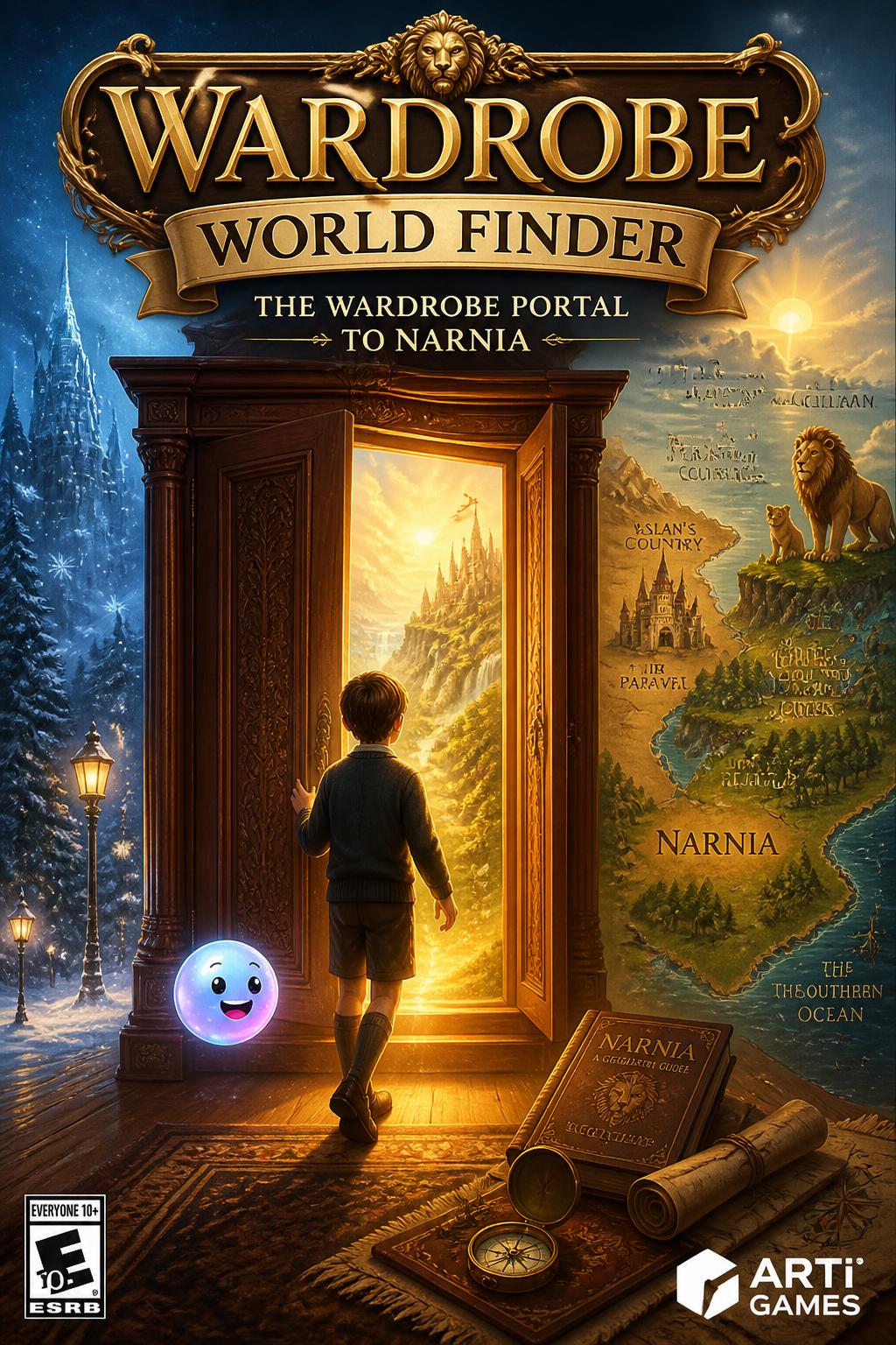
schopenhauer Sort fictional states and countries to master the geography of famous fantasy worlds.
What object in an old English country house serves as the famous portal to the land of Narnia?
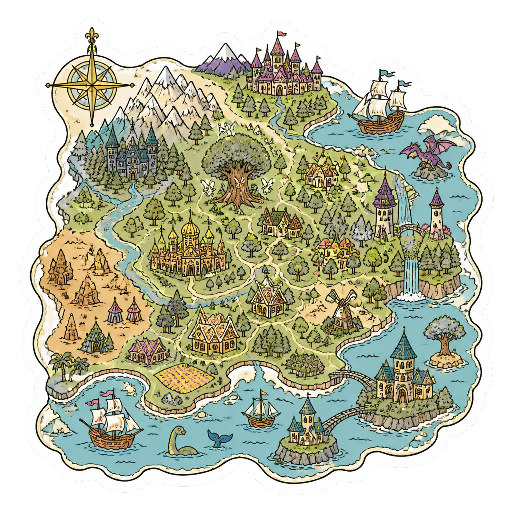
The science or practice of drawing maps. In 1918, Bernard Sleigh designed an intricate, six-foot-long map depicting the realm of Fairyland.
schopenhauer Discworld Cosmic Turtle
Great A'Tuin glides, / Four giants ride, / A flat world in the sky!
How many giant elephants support the Discworld on top of the cosmic turtle's shell?
What is the name of the giant star turtle that carries the Discworld through space?